
Four years ago, we enjoyed a couple of holidays in the Highlands of Scotland. For those who think that they are just a stone’s throw north of Yorkshire, the long hours of driving come as a surprise. Worse still, drivers have to negotiate the ever-busy roads of Scotland’s second city, Glasgow. Here is my report on the experience.
I did not relish the prospect of traversing Glasgow without electronic assistance. Having done so twice with the calm voice of my Garmin nüvi 3790 satnav, before the new motorway opened last summer, it was time to update its maps. Uncharacteristically, I did this several days before we were due to depart on our holiday, paying for a ‘lifetime’ map subscription. Downloading the several GB of data took the best part of a day, so it was evening before it was being installed on my satnav.
And that that was the end of that: skipping the agony of detail, ever since that update, the satnav has been unable to unlock its maps. Although I contacted Garmin support by webmail and phone (pointing out our imminent departure and need for those maps), I did not get any useful suggestions for resolution until three days after we had arrived in Scotland, when I had not unreasonably left the bricked device at home.
Many of us are now dangerously dependent on fragile devices. A little while ago, a friend whose Windows laptop was tormenting iTunes horribly, bricked his iPhone. As a travelling sales rep, he lost access to his vital phone book, and all contact with his customers. Thankfully the Genius Bar at our nearby Apple store did him proud, but he then wondered whether to return to a paper personal organiser and chuck the technology. Thankfully as the organiser can neither play music nor movies, he has stuck with his iPhone.
While I was waiting for Garmin support to make some insightful suggestions, I had a quiet poke around the software innards of my satnav. Although it runs a proprietary operating system, it was hardly challenging to browse its configuration and other key files. The wisdom of my hindsight now is that I would have saved its entire internal storage to a Mac disk image using Disk Utility, before updating its maps. Then, had it suffered any future fit of pique, I could simply restore that image, much in the way that iTunes might for iOS devices.
Bizarrely, not only does Garmin not document or encourage that, but it does not provide a tool for backing up or restoring these expensive dashtop computers. Maybe I am the first person ever to suffer this problem, although from all that I read online this is far from being the case. I suspect instead that Garmin places such complete faith in their systems that they do not feel that users warrant such messy technical information.
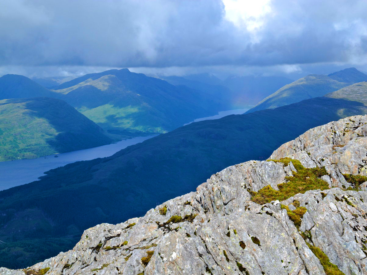
I am sorry to have to break the news to Garmin, and others, but there is a world of difference between devices like satnavs, and their more traditional (and excellent) GPS devices that I happily used when walking up Garbh Bheinn of Ardgour, once we had crossed Glasgow and reached the Highlands. Users are often experienced, suspicious when sophisticated devices are closed down into black boxes, and upset when treated with the condescension you might afford an errant schoolboy.
As it happened, we sailed through Glasgow, over the Erskine Bridge and up the A82, with the aid of a printed road atlas that cost a small fraction of the money I had wasted on the ‘lifetime’ map subscription. Once there, I used Phil Endecott’s outstanding UK Map app on my iPad to plan each day, but good old laminated Ordnance Survey maps when out on the Beinns and byways. In time, I will replace my Garmin etrex walking and Edge cycle GPS devices, but I am not convinced about the car satnav.
Since then, we have not (yet) returned to Scotland, but have undertaken similarly long and navigationally-demanding journeys. Our newer Peugeot 3008 has a built-in navigation system which is superior to the old device, and we do use it. But we also keep track on a printed road atlas.
Updated from the original, which was first published in MacUser volume 27 issue 21, 2011.
