
When you last walked a footpath (in the UK), do you remember its number?
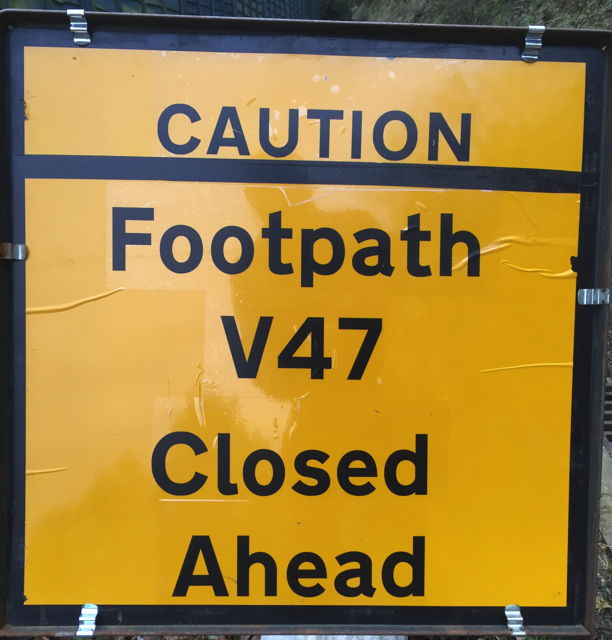
Yesterday, when walking up to the downs, we were confronted by this sign. As this is a path we use at least once a week, we did not have a map.
In any case, the maps sold by the Ordnance Survey for walkers do not bear any footpath numbers. Road numbers, sure – they’ll show you the A3022, but not V47.
Perhaps we were supposed to whip out a roll and flask, and whilst enjoying those and the steady movement of clouds and sun, connect to County Hall and browse the online definitive footpath maps to check.
I just said “Bugger it!” and walked on.
Back home later we checked. I would have loved to show you the tiny blurred black squiggle on the definitive map. But I can’t, as despite the Ordnance Survey being funded by my tax pounds, and the Isle of Wight Council being funded by those and my council tax pounds, the only accessible definitive footpath map is so copyright that if I posted a screenshot of it here, you would each have to pay a licensing fee. Or several.

During the Second World War, I think that much around here was SECRET, as it was the middle of the main air defence radar site for the south coast, and one of the first operational radar stations in the world. Maybe someone in County Hall needs to be told that the war is over, and we can let people know where the footpaths are. Particularly when they are closed.
PS We didn’t see any sign of V47 as it appears not to be signposted, nor closed.
